
Shatta

An Arab village located 10 km northwest of Beisan, near the junction of the Hejaz Railway and the Beisan–Afula–Haifa road. Its geographic position was of great importance because it was the western gateway to the Beisan plain, which links the Marj Ibn Amir (Jezreel) plain in the west with the Jordan Valley in the east.
For this reason, Shatta served as a stopping point for ancient trade caravans and for armies. Secondary roads connected it to a group of neighboring Arab villages, such as al-Murassas, Yubla, al-Tayyiba, and Qumiya.
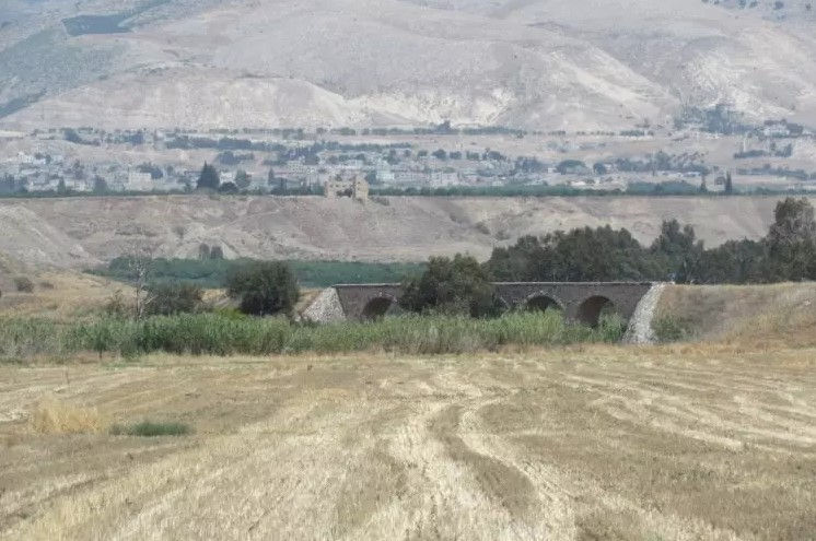
Shatta was built on the eastern side of one of the valleys that feed the Jalud River, at the foot of the northwestern edge of the Beisan plain. It lies about 65 m below sea level, and farmland surrounds it on the north and east. Its location therefore combined military and economic functions.

Shatta stood on the ruins of ancient archaeological remains, including foundations, columns, rock-cut pits, and an ancient cemetery. The land area on which Shatta stood was small, and its residential buildings extended southward, drawn toward the Beisan–Afula road and the railway station.
In 1922, Shatta had about 180 Arab inhabitants, most of whom worked in agriculture. Their number rose to 255 in 1931. Its Arab inhabitants were expelled from it at the end of 1935, after some absentee owners from landed feudal families sold Shatta’s lands to Jews. The settlement of “Beit HaShita” was established in place of the Arab village, and its population grew from 590 Jews in 1945 to 930 in 1973.


Comments