
Rehovot Settlement
Updated: Sep 7

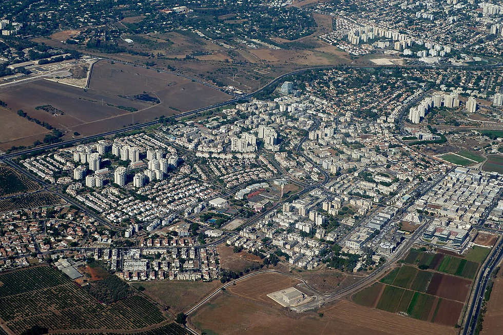
Rehovot is located about 35 kilometers south of "Tel Aviv." It was established in 1890 as an agricultural settlement during the First Aliyah, by immigrants from Poland and Russia.
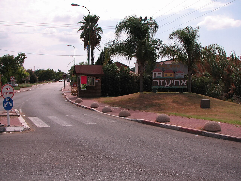
According to the Israeli Central Bureau of Statistics, its population was about 106,200 people at the end of 2007. The Kiryat Moshe neighborhood and its industrial zone were built on the lands of the depopulated Palestinian village of Zarnuqa. The village's name is believed to derive from an Arabic word meaning "the small river." Its Arab residents were displaced and it was destroyed in 1948. In the same year, the settlements of "Zarnuqa" and "Ofad" were established on its lands and to its northwest, with a combined population of about 693 people in 1956.
Zarnuqa was located on the coastal plain, at an elevation of about 35 meters above sea level, and was surrounded by the villages of Yibna, al-Maghar, al-Qubayba, and Aqir. Wadi al-Qarma passes about 2.5 kilometers to its west, where it meets Wadi al-Sarar to form the Rubin River. Although it lacked natural springs, it was rich in wells, especially in the north and northwest.
The village had a roughly trapezoidal shape, and gradually expanded amid notable urban and economic growth in its final years.
Sources:Due to the scarcity of Arabic sources, the following Hebrew sources were relied upon:
The settlement's Hebrew website
Israeli Central Bureau of Statistics
Information on the village of Zarnuqa.
Comments